Preparing for a long road trip? Or going to hike a mountain trail?
It doesn’t matter whether you’re an absolute beginner or an expert in navigation — the best hiking apps are useful for everyone.
After all, online maps never become outdated; compasses will not fail you; and hike messengers are great for finding new friends and discussing the most challenging or beautiful trails.
To help you out, these are the most useful paid and free hiking apps you’ll want to get!
Every app is available on Apple and Android — so no one will be without help.
We’ve divided this article into several categories so that you can find the necessary app immediately.
Hiking map apps
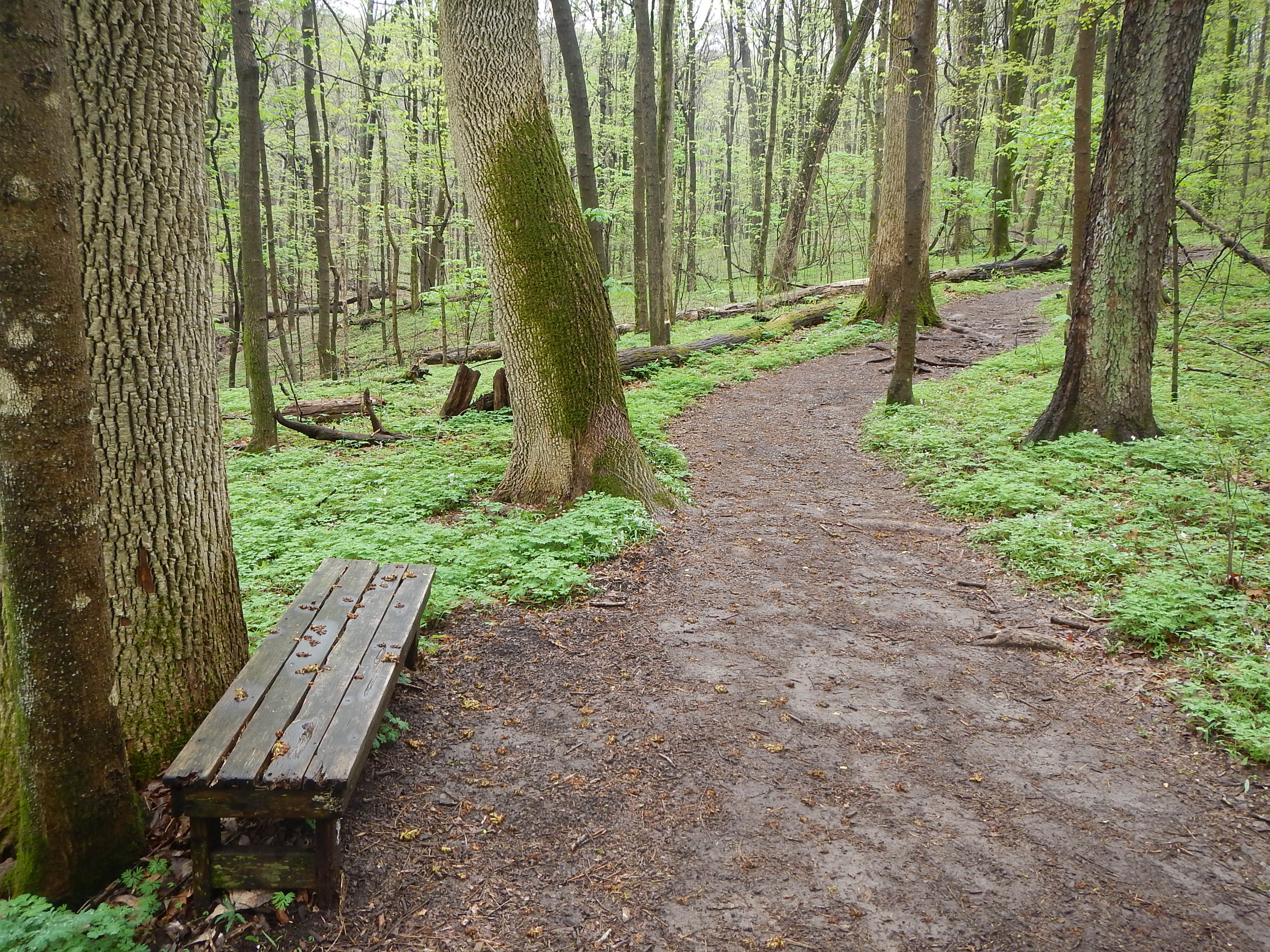
Maps are the best partners in any adventure, no matter how far you plan to go.
Technology allows you to get trail maps on iPhones and Androids so that you’ll always feel confident about where you’re going.
We investigated the most popular GPS tracker apps that adventurers have used this year, and we’ve built a new list of maps you can download.
1. Maps 3D Pro
This is a great app for every adventurer. Whether you’re a cyclist, snowboarder, or hiker, this app will satisfy all your needs.
With this GPS map app, you can record trails and refer to them offline. This is a great detail that is necessary for safe outdoor adventures anywhere.
Unique feature: With Maps 3D Pro, you’ll see the surroundings in all three dimensions.
2.Map My Hike
This is an interesting GPS mapping software to travel safely and track your route. The distance you take is displayed on the map, so you’ll never get lost.
Moreover, you can see the routes your friends have taken, making it the perfect way to stay motivated and have some friendly competition. Actually, this hike tracking app is also great at inspiring you — it gives you achievements for various tasks.
Unique feature: This trail making app has a Routes function to help you find new hiking trails around you.
3. ViewRanger Trails & Maps
This is a nice variant to track hiking routes on your smartphone or Apple Watch. ViewRanger allows users to find their path even offline.
Since you can share your real-time location with your friends or family members, outdoor navigation becomes easy and safe.
Unique feature: Identify peaks, rivers, and lakes using your smartphone’s camera and the Skyline function.
4. Cairn
Cairn will save your route and show it offline. You can find the actual distance for thousands of trails in the US and Great Britain.
Cairn not only helps you find a hiking trail — it’s also about safety.
You establish the expected completion time of your chosen route.
If you don’t make it on time, the app informs the contacts you have listed.
This app also lets your contacts track your location in real time. The system of notifications helps you tell loved ones that you’re fine.
Unique feature: Use this free app to measure the time and distance of your hike without draining the battery. This is especially helpful for long trips.
5. All Trails
All Trails is one of the best route apps. It’s a great choice for beginners.
Wondering why?
Because it not only shows thousands of trails — actually, the All Trails hiking app has more than 50,000 routes — it also helps you choose one.
In this mapping app, you can find real hikers’ reviews of mountain, canyon, or wooded trails. The reviews always consist of locations, characteristics, and photos.
Unique feature: Can’t choose from the 50,000 routes available? It’s no surprise. Filter them by difficulty, length, rating, and activity types.
6. Gaia
She is the Greek goddess often called Mother Nature.
These downloadable GPS maps also act like Mother Nature! They show you every trail in your country. There are three types of maps:
Topo
Road
Satellite
For countries like the USA and Canada, government offline topo maps are available.
Also, you can synchronize the apps’ maps and routes on all of your devices so you’ll never lose your saved trails and photos.
Unique feature: Gaia has worldwide maps, not only for the US and Canada. That means you can take it with you wherever you go!
7. Topo Maps+
This is another GPS app for iPhone with a wide range of functions. Download the map and use it offline to avoid getting lost.
Topo Maps+ is one of the top GPS apps for iPhone due to its updated maps of the US, Canada, and New Zealand. You can also print any of your routes just in case your device dies.
Unique feature: If you’re a hiking fan, you can use tags to organize all of your trails with this route map application
Navigation apps for hiking
Trekking apps are real treasures for any adventurer. To feel safe during your trip, download at least a couple of outdoor navigation apps.
In this section, we want to introduce the best GPS navigation apps for Android and iOS.
With these apps, you’ll know how to:
Capabilities of hiking apps
The most fantastic thing about these apps is that you can use GPS without Wi-Fi — leaving you no chance to get lost.
8. Spyglass
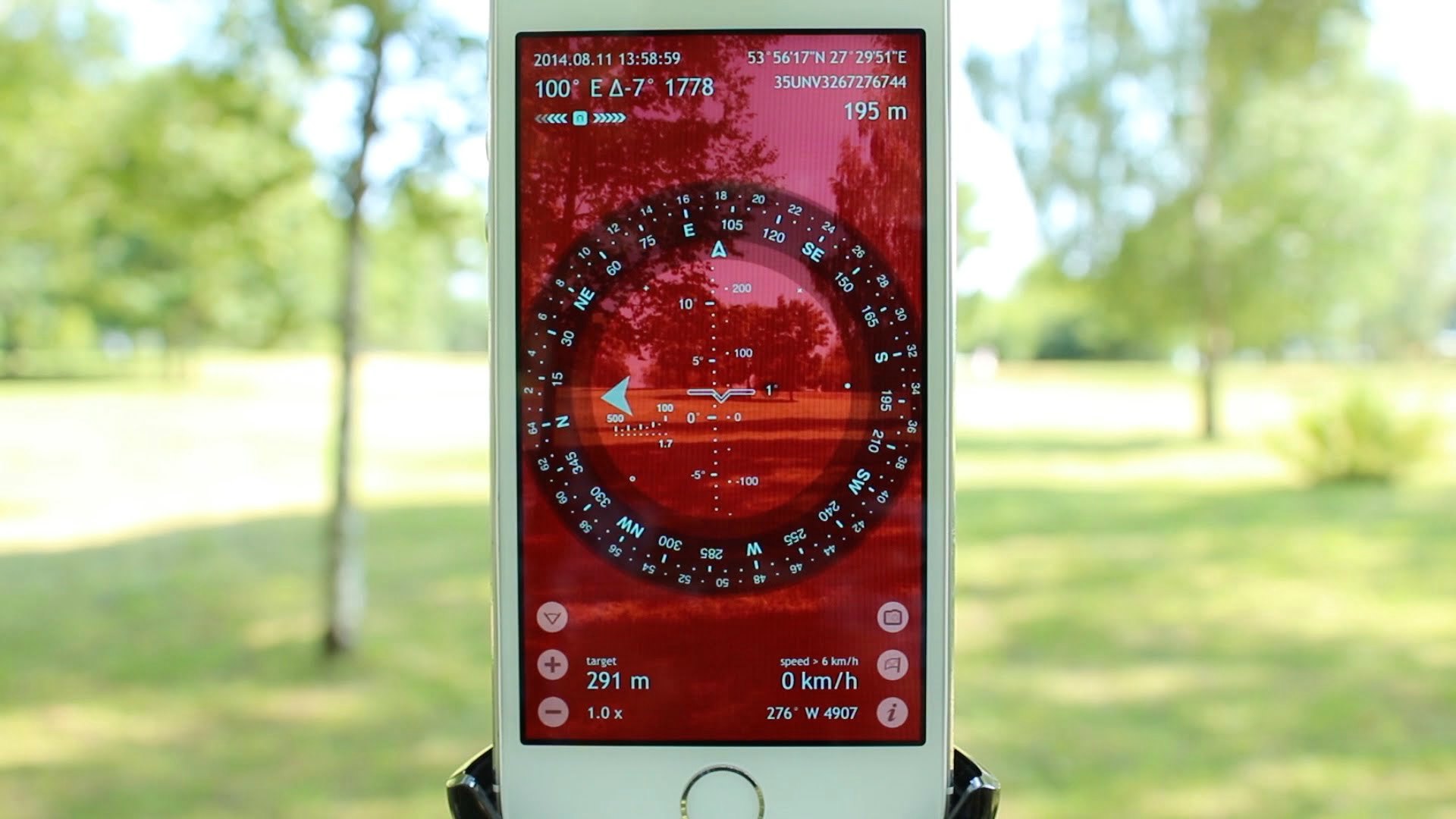
One of the top adventures apps, Spyglass allows you to navigate with the help of a compass and gyrocompass. This app uses your GPS location to build the right path.
With its help, you can do everything:
Navigate by the sun, moon, and stars
Use a compass with your map
Know the distance, altitude, and approximate time
Use dozens of coordinate systems and modes
Unique feature: Use the built-in star guide to navigate by the night sky map and find the nearest trail.
9. Theodolite
We’re happy to introduce you to an innovative app for navigation. Theodolite has all the tools you need to find hiking trails fast: a navigation calculator, an inclinometer, a compass, and many others.
Theodolite is essential to take with you on any adventure. This outdoor navigation app is especially useful for skiing, yachting, and kayaking. You can also use the built-in monocular with two modes: 2x and 4x zoom.
Unique feature: If you want to share your location, just take a screenshot and send it by email with all the indicators on it.
10. PeakVisor
Do you often try to google “mountain climbing near me” but fail because of a slow internet connection?
If so, we have a great mountain peak app for you.
PeakVisor has an enormous database of mountains with information about peaks all around the world.
Its main function is its 3D mountain panorama. Just point your camera at the horizon to get the names and elevations of all the surrounding peaks.
Unique feature: In addition to GPS navigation, this app has a Sun Trail function. You will always know how to place a compass.
So there you have it — these were the top hiking apps of 2017, presented along with our thorough reviews of their best features. Hike&Cycle carefully chose the most beneficial of these apps and presented them to you in this article.
Remember to update your smartphone with some of these useful applications before your next trip.